


CR_Francigena_DD_40_Colle-Di-Val-D-Elsa_Monteriggioni_20230522

patrickdanilo
User
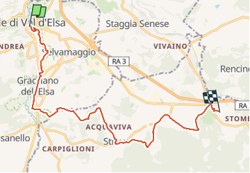

Length
17.1 km

Max alt
284 m

Uphill gradient
315 m
Km-Effort
21 km

Min alt
132 m

Downhill gradient
192 m
Boucle
No
Creation date :
2023-05-22 06:22:42.053
Updated on :
2023-08-08 13:43:59.582
4h29
Difficulty : Very difficult

FREE GPS app for hiking
 SityTrail
IGN / Geographical institutes
SityTrail Plus
The world is yours!
About
Trail Walking of 17.1 km to be discovered at Tuscany, Siena, Colle di Val d'Elsa. This trail is proposed by patrickdanilo.
Description
Randonnée Marche de 17,1 km à découvrir à Toscane, Siena, Colle di Val d'Elsa. Cette randonnée est proposée par patrickdanilo.
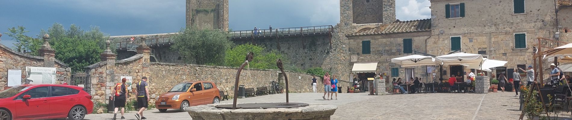
Photos


Positioning
Country:
Italy
Region :
Tuscany
Department/Province :
Siena
Municipality :
Colle di Val d'Elsa
Location:
Unknown
Start:(Dec)
Start:(UTM)
672360 ; 4809794 (32T) N.
Comments